Technology
Sensors on the ground. Eyes in the air. Software in between.
Four technology tracks, developed together.
01Sensor nodes
Detection starts on the ground.
Field-hardened, solar-powered nodes designed to sit unattended in remote terrain and report over low-bandwidth wireless links. Detection logic runs close to the sensor so the network can stay quiet until something matters.
Temperature
Ambient and rate-of-change signals across the node network.
Humidity
Relative humidity as part of local fire-weather context.
Smoke / particulate indicators
Particulate sensing under evaluation as a detection input.
Atmospheric measurements
Pressure and related environmental measures for context.
Wind context
Local conditions that shape how an event may develop.
Node health
Power, link quality, and status reported with every reading.
Specifications are not finalised. Node counts and deployments do not exist yet.
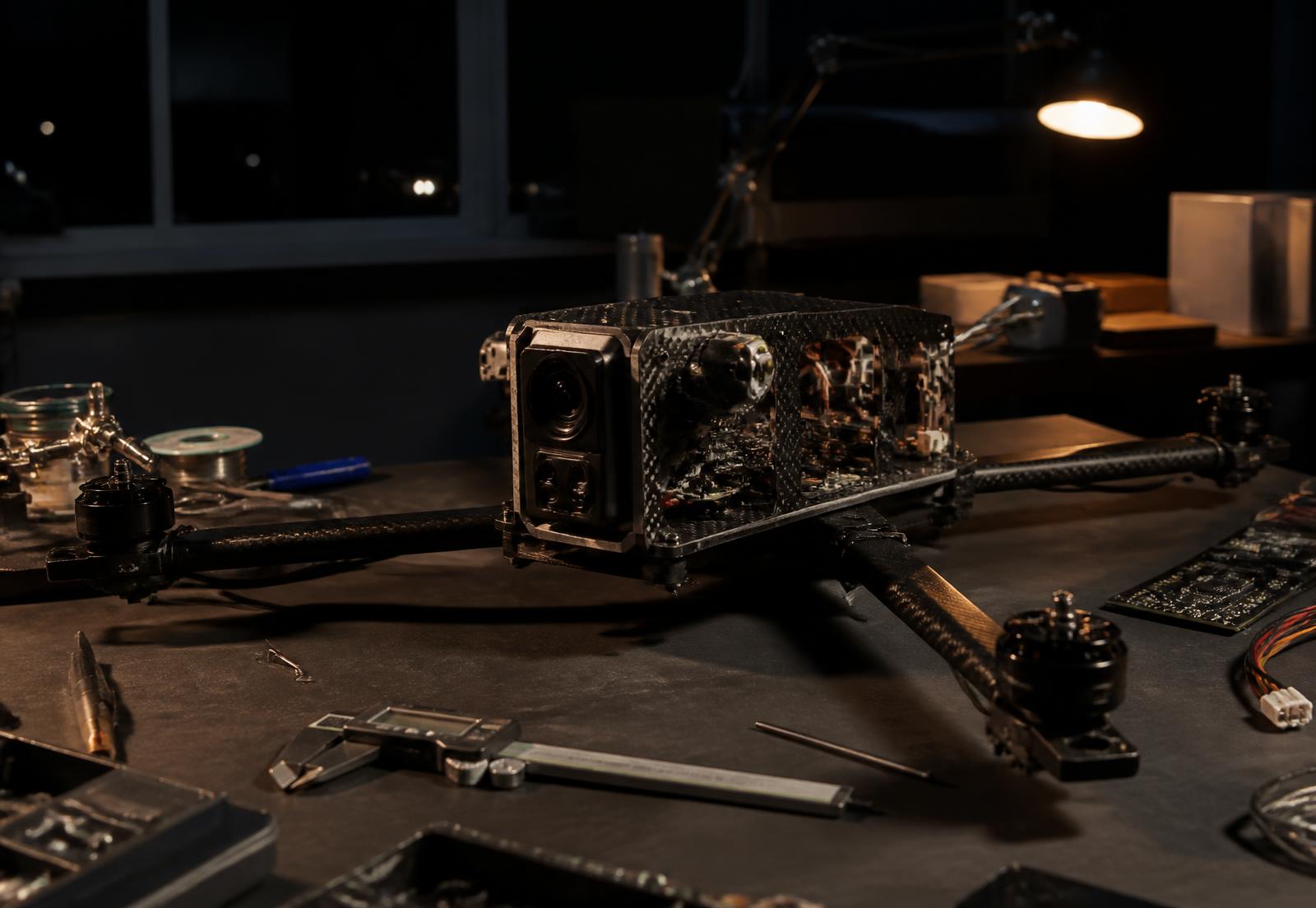
02Aircraft & autonomy
Then we send eyes.
Airframe, payload, navigation, and link design are being developed against one job: get a useful sensor over a set of coordinates quickly, with a human able to intervene at any point.
- Prototype
Rapid deployment
Designed to launch on an assigned mission shortly after an alert is reviewed.
- Prototype
Autonomous or assisted navigation
Waypoint navigation toward the event with operator oversight and takeover.
- Prototype
Thermal imaging
Heat signatures through smoke, haze, and darkness where optical imagery falls short.
- Prototype
RGB / optical imaging
Human-readable imagery of the event and the terrain around it.
- Prototype
Location awareness
Georeferenced position tied to every frame and telemetry sample.
- Prototype
Real-time communications
Live link to the Operations Center for telemetry and imagery.
- Planned
Persistent observation
Remaining on station to keep eyes on a developing situation.
We do not claim full autonomy. Operator oversight is a design requirement, not a fallback.
03Thermal + visual intelligence
Two sensors, one picture.
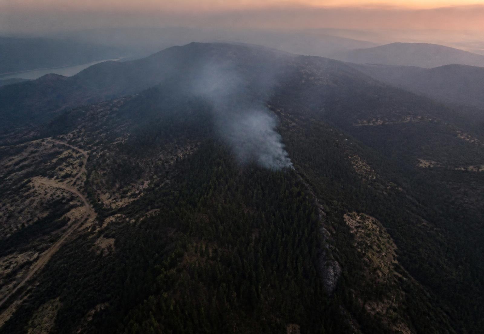
Optical imagery carries context a person can read instantly. Thermal is intended to surface heat that smoke, canopy, or darkness would otherwise hide. Paired with position, altitude, heading, and terrain, they become an observation rather than a photograph.
- Georeferenced frames tied to aircraft position
- Heat-pattern context alongside optical detail
- Terrain and access visible in the same view
- Designed to be readable under time pressure
04Mission control software
The layer that makes it one system.
Live map, sensor nodes, active alerts, aircraft position and flight path, thermal and RGB frames, weather, incident status, communications, and the mission timeline — in one place, with one record.
Network
Nodes reporting
Alerts
1 under review
Aircraft
1 assigned
Weather
Gusting, low RH
Incident timeline
- T+00:00Node 07 reports temperature anomaly
- T+00:00Detection candidate raised · cross-checking neighbours
- T+00:01Alert routed to Operations Center
- T+00:03Operator review · incident opened
- T+00:06UAV mission assigned to incident
- T+00:09Aircraft airborne · navigating to coordinates
- T+00:21Thermal + RGB on station
- T+00:23Intelligence package prepared for responders
The internal HQ carries the operational version of this interface: live alerts, incident queue, sensor network, UAV fleet, communications, and the incident record.
05Field engineering
Designed for the field.
Heat
Electronics and batteries have to keep working when ambient conditions are already extreme.
Smoke
Optical sensing degrades exactly when it matters most — which is why thermal sits beside it.
Dust and weather
Sealing, ingress protection, and materials chosen for seasons outdoors, not demo days.
Wind
Flight envelopes and mounting hardware designed around gusty terrain-driven conditions.
Remote terrain
Nodes go where roads don't. Service intervals and mounting must respect that.
Limited connectivity
Low-bandwidth, intermittent links are the assumption, not the failure case.
Distance
Long stretches between nodes, launch points, and events shape range requirements.
Power and endurance
Solar budgets on the ground, battery budgets in the air, both under real duty cycles.
Maintenance
Anything deployed has to be serviceable by a small team with limited access.