Autonomous wildfire detection + UAV response
Wildfires move fast. Early information matters.
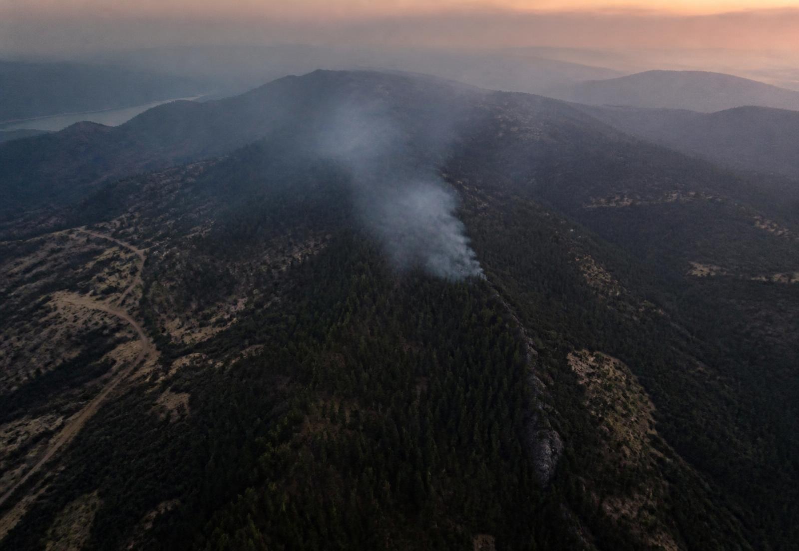
We're developing an autonomous wildfire detection and aerial response system designed to identify potential fires, investigate them quickly, and give responders better information.
01The gap we're aiming at
Between a fire starting and someone knowing exactly what is happening, there is a stretch of time made of detection, verification, and observation. In remote terrain that stretch grows, and the situation changes while it does.
Our mission is to compress it — with a distributed sensor network that notices, an Operations Center that evaluates, aircraft that go and look, and software that turns all of it into something a responder can use.
We are early-stage. We are building the system; we have not deployed it.
02How we work
- 01
Early information matters
The gap between a fire starting and someone knowing exactly what is happening is where the system should do its work. Every design decision is measured against that gap.
- 02
Build it, then claim it
We describe what exists as built, what's on the bench as prototype, and what's ahead as intent. Nothing gets promoted before it is tested.
- 03
One system, not one gadget
Sensors, communications, the Operations Center, the aircraft, and the software are designed together. The architecture is the product.
- 04
Responders decide
We're building an information tool. Fire professionals make the calls; our job is to make the picture arrive earlier and clearer.
- 05
Engineered for the field
Heat, smoke, dust, wind, remote terrain, and thin connectivity are the design environment — not edge cases discovered later.
03Technology should serve people
When conditions are dangerous and time matters, decisions get made with whatever information is at hand. Our job is to make that information arrive earlier and read more clearly. Fire professionals still decide; we are building the instrument, not the judgement.
04Wildfire is only the beginning
Wildfire has our full attention. In time, the same foundation could support other emergencies.
Search and rescue
Aerial search patterns with thermal imaging over difficult terrain.
Storm response
Rapid aerial assessment where ground access is cut off.
Disaster mapping
Georeferenced imagery to build a picture of what changed and where.
Other natural hazards
The same sensing, autonomy, and coordination foundation, pointed at a different problem.